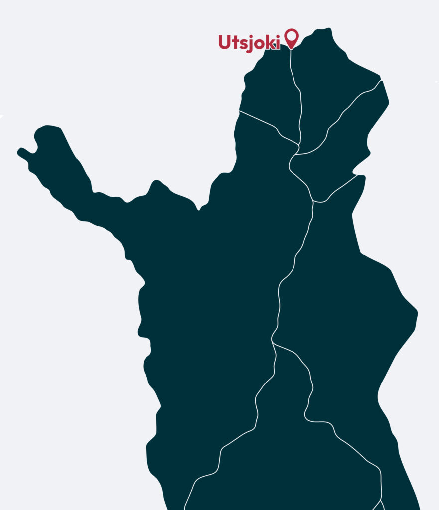
Utsjoki
Step onto the Sámi Bridge, on the border between two countries at the top of Europe. You’ll see Ailigas Fell watching over the peaceful village of Utsjoki, while below you the River Teno guides travellers from one breathtaking wilderness view to the next along Finland’s most beautiful road.

Travel tips
Utsjoki offers travellers a rare opportunity to explore Finland’s only Sámi-majority municipality, with a wide range of accommodation from aurora igloos to hotels, apartments and cosy cottages. Highlights include the historic parish huts, Ailigas Fell, the Sámi Bridge, the River Teno, the Kevo Strict Nature Reserve and the vast Paistunturi and Kaldoaivi Wilderness Areas. In summer you can hike, bike, paddle, SUP-board and fish, while autumn invites foraging, hiking and peaceful moments by the water. Winter brings reindeer and husky safaris, snowmobiling, snowshoeing, skiing and even trips to the Arctic Ocean — a true Arctic adventure year-round.

Located next to Norway
Utsjoki is the northernmost municipality in Finland, located alongside the Norwegian border. Multiculturalism is very much present, as in addition to Finnish, you are sure to come across North Sámi and Norwegian languages. (Or more precisely, you are sure to hear Finnish and Norwegian languages in addition to the original Northern Sámi language spoken in the area.) Settlements in are mainly located along the banks of the River Teno – the river that marks the border between Finland and Norway. The closeness to Norway can be seen both in cross-border trade and in the landscape. The route to the Arctic Ocean, Nordkapp and the Varanger fjord runs through Utsjoki. Utsjoki is also part of the popular North Lapland Road Trip, which runs through some of the most beautiful views in Utsjoki and in the whole Lapland North.
Explore the North Lapland Road Trip
The River Teno
The River Teno, “Deatnu” in Northern Sámi, is one of the most significant cultural and natural landmarks of Utsjoki. Flowing between Finland and Norway — and marking the northern edge of the EU — it has long served as a vital route for Sámi travel, trade and connection. Rather than dividing communities, the river has historically brought them together. Its wide valley, hidden sandy shores and surrounding fells create a landscape that is both peaceful and dramatic, offering visitors a deep sense of Arctic serenity and timelessness.
More informationMost beautiful road in Finland
Road 970, known as “Route Teno,” is often called the most beautiful road in Finland. Stretching 100 km from Karigasniemi to Nuorgam, it follows the River Teno through a stunning river valley where soft, rolling fells rise on both the Finnish and Norwegian sides. Nowhere else in Finland can you experience a landscape quite like this — a journey of open horizons, Arctic light and unforgettable scenery.


Vast landscapes and gentle fells
Utsjoki offers Finland’s largest stretches of wilderness. Kaldoaivi, spanning 3,000 km², and Paistunturi, 1,500 km², form a vast landscape of gentle fells, deep river valleys and endless Arctic horizons reaching toward Norway. Some routes are marked, while others follow traditional Sámi paths used for reindeer herding and nature-based livelihoods. Within Paistunturi lies the Kevo Strict Nature Reserve, famous for its dramatic 40 km canyon and rugged marked trails open only during specific seasons.
Ailigas fells
Utsjoki is home to three fells named Ailigas, all rising prominently along the River Teno. The highest, in Karigasniemi, reaches 620 metres where the River Inarijoki meets the Teno. The second, Nuvvus-Ailigas, rises 535 metres directly from the riverbank near Nuvvus village. The smallest, at 342 metres, stands beside Utsjoki village. Each summit offers breathtaking views across vast wilderness landscapes stretching all the way to the Norwegian fells.

Accommodation and experiences in Utsjoki

Parish huts and Utsjoki church
The historic parish village of Utsjoki consists of 14 church huts from the 18th and 19th centuries, once used by Sámi families during market gatherings and church ceremonies up until the 1930s. Set beautifully on the shores of Lake Mantojärvi, 6 km from the village along Highway 4, the huts form one of the region’s most significant cultural sites. Nearby stands the Utsjoki stone church, commissioned by Nicholas I of Russia and completed in 1853 — a landmark of Sámi and local history.
More informationDiscover the Beauty of Utsjoki
Find detailed area information, the best restaurants, accommodation options, trails, exciting activities and other services in the official travel site of Utsjoki.
Explore Utsjoki