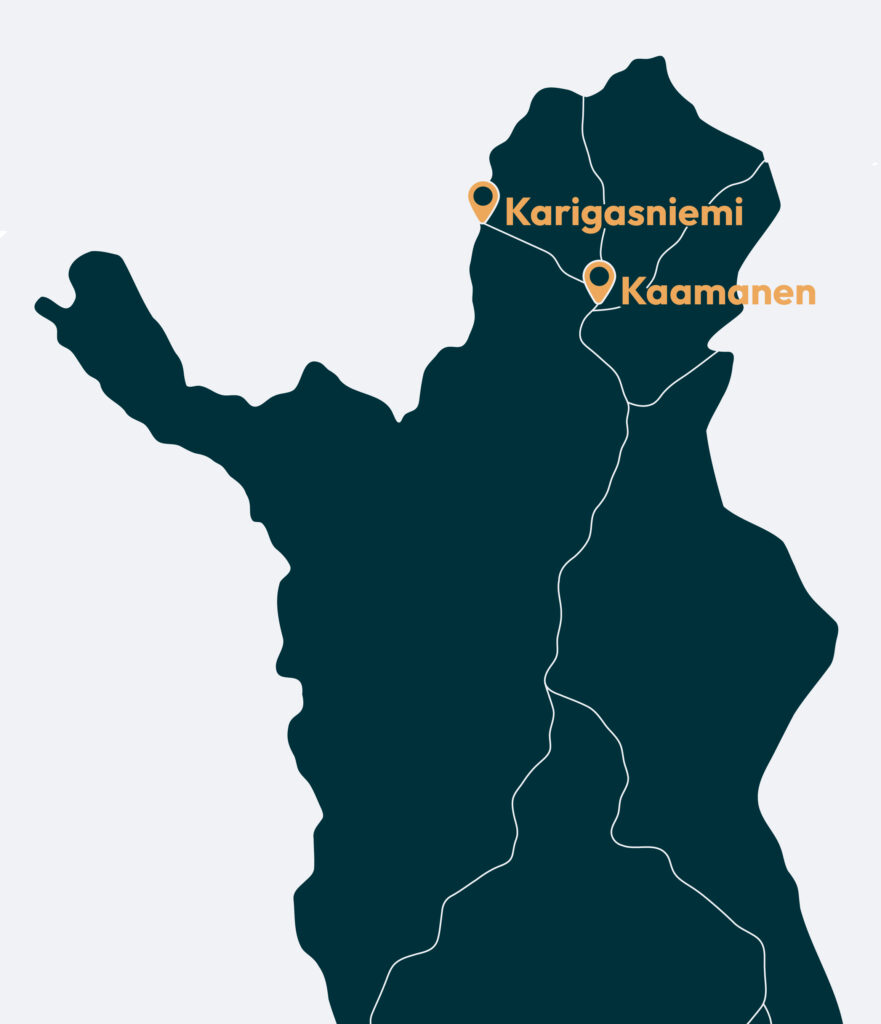
Karigasniemi and Kaamanen
Kaamanen and Karigasniemi are vibrant meeting points in Lapland North — places where roads, rivers and cultures converge. North of Inari along the E75 lies Kaamanen, a traditional crossroads where routes lead in all four directions: north to Utsjoki, west to Karigasniemi, east to Sevettijärvi and Näätämö, and south toward Inari and Ivalo.
Westward, near the Norwegian border, Karigasniemi stands as a lively village of 500 people and thousands of reindeer, connected closely with its Norwegian neighbour Karasjok just 18 kilometres away.

Tips for travelers
In Karigasniemi and Kaamanen, there are endless possibilities for nature lovers:
- fishing for trout and grayling
- hiking along river valleys and fell slopes
- birdwatching and photography
- cross-border excursions to Norway
- wilderness tours and guided adventures
Accommodation options include cosy lodges, guesthouses and cabins, many close to rivers, fishing waters and hiking routes. Staying in Karigasniemi or Kaamanen offer warm hospitality and a strong sense of northern culture.
Kaamanen has long been a gathering place for travellers, Sámi families and reindeer herders. With only 200 inhabitants, the village lives from reindeer herding and services linked to the travel industry. Its Northern Sámi name gámas refers to a specific part of reindeer hide — a reminder of the deep cultural roots of the area.
Karigasniemi sits at the meeting point of three rivers — the Inari, Teno and Karas — forming a natural borderland between Finland and Norway. As a lively border village, it provides a wide range of services for travellers heading toward the Arctic Ocean, Porsangerfjord or North Cape.
Read more about Sámi culture

The Most Beautiful Road in Finland
Route 970 — often called Route Teno — follows the River Teno for nearly 100 km from Karigasniemi to Utsjoki and onward to Nuorgam.
This breathtaking drive winds along riverbanks, past fells and wide-open valleys. Nowhere else in Finland can you experience a road journey quite like this: intimate, wild and endlessly scenic.

Ailigas Fells – Three Peaks of Character
Utsjoki is home to three fells named Ailigas, each with its own presence:
- Karigasniemi Ailigas (620 m) – the highest, rising where the Inari River becomes the Teno
- Nuvvus-Ailigas (535 m) – towering straight from the riverbank in Nuvvus village
- Utsjoki Ailigas (342 m) – overlooking the village, and the only one with road access to the top
All three have unmarked trails and offer spectacular views over the Teno River valley and far into Norway.
Sulaoja Spring – A Sacred Source of Life
Just 10 km east of Karigasniemi lies Sulaoja, Finland’s largest natural spring by water volume.
For centuries, Sámi people believed its crystal-clear water had healing powers. Today, a gentle 2 km nature trail leads visitors to the spring and through the surrounding forest, making Sulaoja the southern starting point of the legendary Kevo Strict Nature Reserve.

Kevo Strict Nature Reserve – Where the Earth Opens
The Kevo Strict Nature Reserve is one of Finland’s most dramatic natural areas. At its heart is a 40 km canyon up to 80 metres deep, carved by the River Kevo. The surrounding landscape consists of fell uplands, ravines and tundra-like mires.
The reserve offers:
- two demanding hiking routes (63 km and 86 km)
- a gentle nature trail at Sulaoja (2 km)
- protected habitats for rare bird species
Access is only allowed on marked trails, preserving its raw and rugged character.

Muotkatunturi Wilderness Area – Trails Left by Nature
Muotkatunturi is wilderness in its purest form: no marked trails, only rolling fells, clear rivers and a handful of wilderness huts. The area is ideal for experienced hikers seeking solitude, but guided adventures are available year-round through local companies.
Highlights include:
- the serene Lake Peltojärvi
- wide-open fjell landscapes
- untouched rivers perfect for photography and quiet exploration


Paistunturi Wilderness Area – Endless Horizons
Covering 1,500 square kilometres between Kaamanen, Karigasniemi and Utsjoki, Paistunturi is one of Lapland’s great open wilderness regions.
Rounded fell tops, extensive mires and deep valleys create a landscape of rolling beauty. On clear days, you can see all the way to Norway’s distant mountains.
Trails here are partly marked, partly traditional local routes used by reindeer herders, hunters and fishermen. While suited only for experienced trekkers, guided day trips make it accessible to all.
Read more about Paistunturi
Local Flavours and Places to Eat
Restaurants and cafés in both villages serve hearty northern dishes — reindeer, local fish and seasonal delicacies. Borderland flavours and Sámi culinary traditions add unique character to the dining experience.
Explore restaurants and cafés