About Nuorgam
Nuorgam is the northernmost village in Finland and the EU, located 500 kilometres north of the Arctic Circle, and a stone’s throw from the Arctic Ocean. Nuorgam can be reached from the airports of Ivalo and Kirkenes, which is located in the neighboring country, Norway. Many accommodation companies have a pick-up service from and to the airport and rental cars are available at the airport. A day trip to Norway and the Arctic Ocean is easy to combine with your visit! Many local operators offer tours to the Arctic Ocean. When feeling adventurous, you can even join a snowmobile safari to the Arctic Ocean.
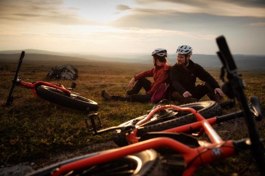
Magnificent fell scenery
Right above the riverside village, rises the barren upland fells of Kaldoaivi wilderness area – a real paradise for hikers and skiers. You can either explore the surroundings of the Lake Pulmankijärvi by yourself or in a safari organized by local companies all year round. The area has particularly rich flora and fauna and offers excellent opportunities for bird watching. Enjoy the magnificent landscape in Nuorgam by skiing on top of the fells, breathing the fresh air of Sámiland and indulging yourself with the unbroken silence of the wilderness. As the northernmost tip of Finland, in Nuorgam both the polar night and the midnight sun are the longest, and the Northern Lights take over the starry sky during the dark nights.
Local sights
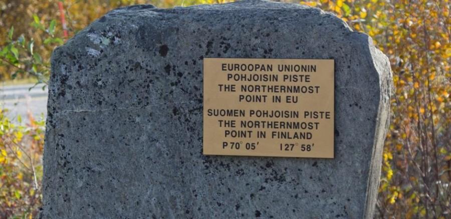
Landmark of the Northernmost tip of EU
The landmark of the northernmost tip of Finland and EU is located in the vicinity of the Pulmanki border crossing site by road number 970 and close by to the village of Nuorgam. From here, the Arctic Ocean lies a mere 30 kilometres away.
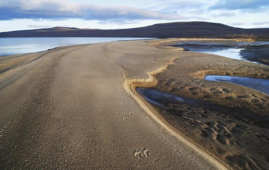
Lake Pulmankijärvi
The ruggedly beautiful Lake Pulmankijärvi is formed out of an old Arctic Ocean fjord extending over 10 kilometres in length. Pulmankijärvi is accessible by car along a very scenic highland route leading through the fells. On the way is a viewpoint of Isonkivenvaara, and an easy, marked hiking trail of approximately 6 km to the Lake Skaidijärvi.
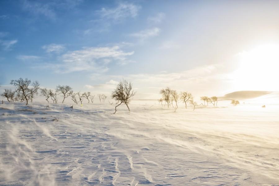
Kaldoaivi Wilderness Area
Kaldoaivi is the largest of wilderness areas in Finland. The landscape of this roadless area varies from steep river valleys to upland fell areas. Due to the altitude of about 200-300 metres, the vegetation is mainly thin fell birch and towards the North becomes treeless. The area is suitable for experienced wilderness hikers or mountain bikers. Especially for fishers, Kaldoaivi is a dream destination because of the abundance of fish in the many rivers, brooks and lakes. In Kaldoaivi there for sure is no light pollution, making it one of the most memorable places for Northern Lights viewing! It is also a stunning place during the autumn foliage.
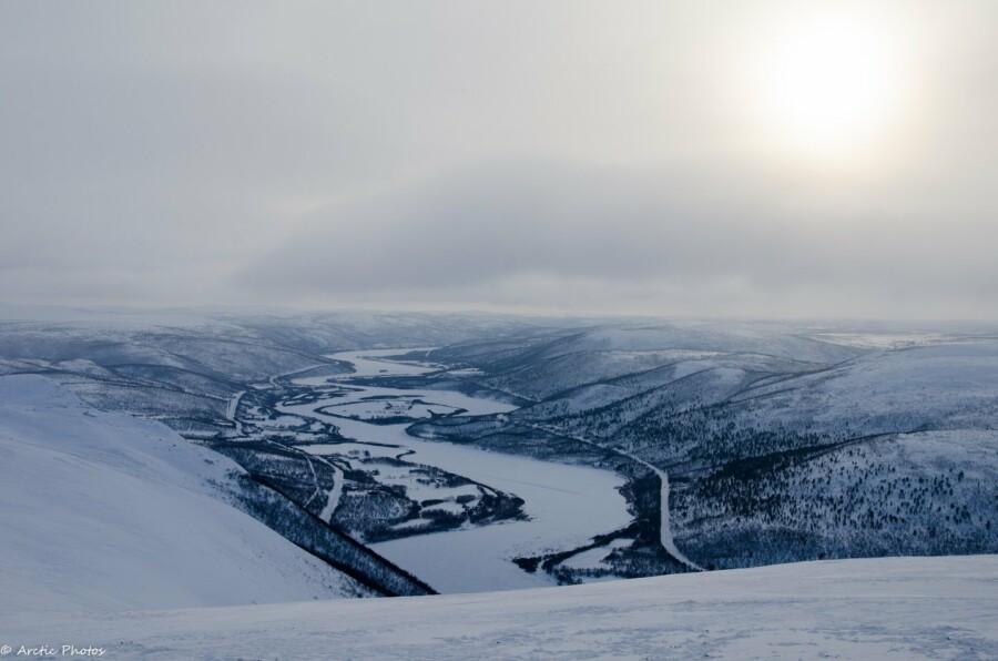
River Tenojoki
The River Teno is one of the largest and best salmon rivers in Europe. The first fly-fishing enthusiasts discovered the river in the 19th century, which can be considered as the beginning of recreational fishing tourism. Teno – Deatnu in Northern Sámi and Tana in Norwegian – is the border of Finland and Norway and therefore forms also the northern border of the European Union. The beautiful river valley of Tenojoki with is hidden sandy beaches is overlooked by rugged fells, creating an unforgettable arctic scenery.
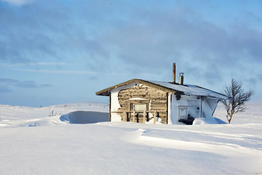
The Sevettijärvi-Pulmanki Trail
The Sevettijärvi-Pulmanki hiking trail leads from Lake Pulmankijärvi through the vast wilderness of Kaldoaivi. The route is approximately 60-70 km long. In its southernmost parts the route traverses’ boreal forests, while the terrain becomes more rugged towards the North, birch being the predominant vegetation. There are some wilderness huts along the route and the most recommended time for hiking is during July – August. There is also a separate winter route both for skiers and snowmobilers.

