Nuorgam – Finland’s Northernmost Village
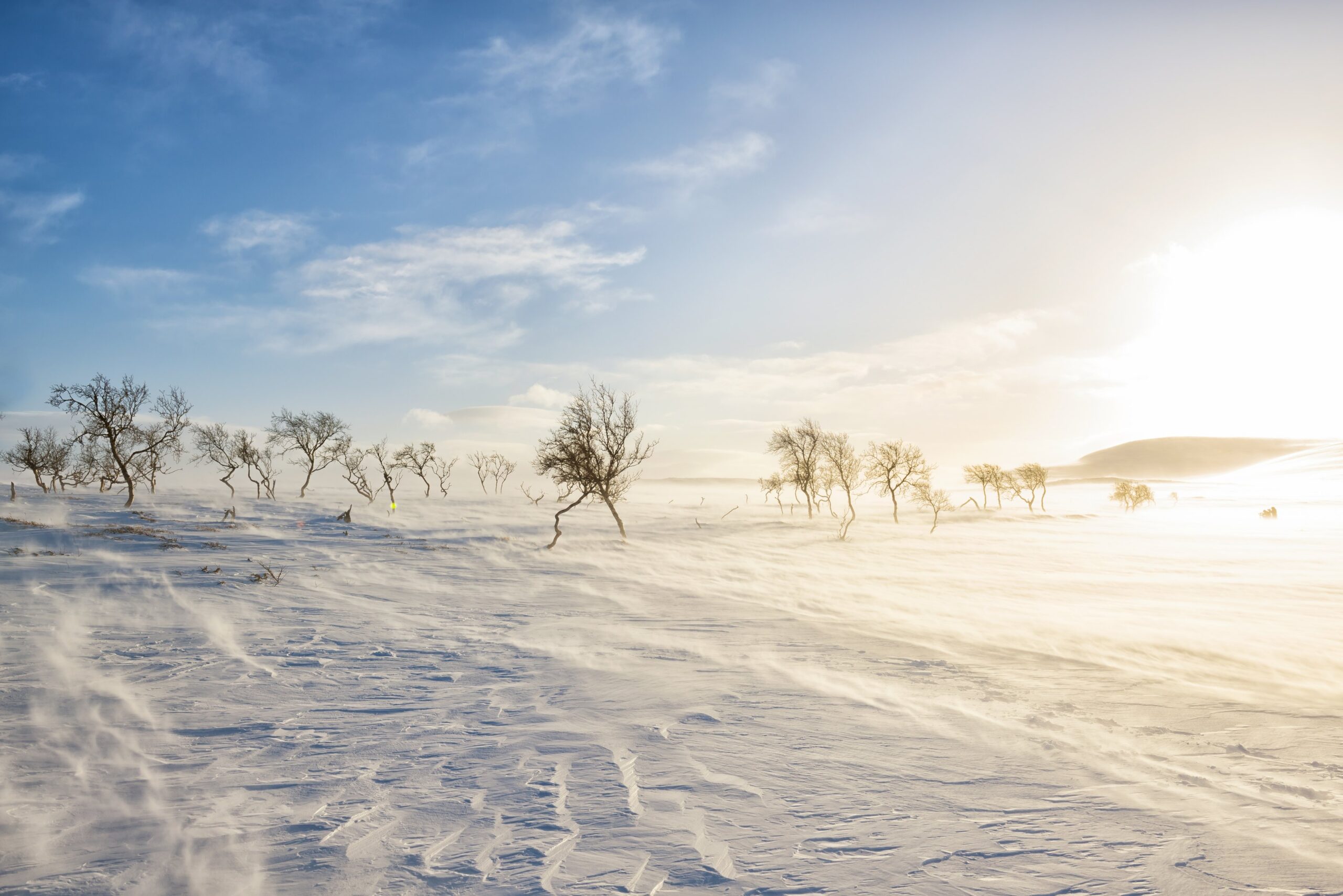
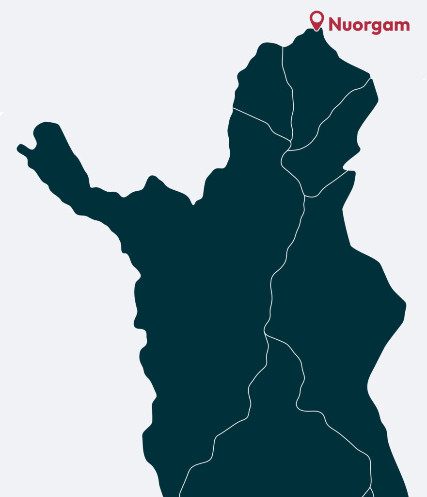
Nuorgam is Finland’s and the EU’s northernmost village, located 500 km north of the Arctic Circle and close to the Arctic Ocean. It’s easily reached via Ivalo or Kirkenes airports, with pick-up services and rental cars available. A day trip to Norway and the Arctic Ocean is simple to add to your visit, and local companies offer guided tours — even snowmobile safaris for the adventurous.
Travel tips
Nuorgam is Finland’s and the European Union’s northernmost village, located by the River Teno close to Norway and the Arctic Ocean.
Stay in local cottages, holiday villages or other accommodation, with nature, fishing waters and Arctic Ocean routes nearby.
Must-sees include the northernmost point of Finland and the EU, Lake Pulmankijärvi, Kaldoaivi Wilderness Area and the River Teno.
Popular experiences include hiking, fishing, skiing, snowmobiling, northern lights tours and day trips to Norway.

Local sights
The northernmost point of Finland and the EU is located near the Pulmanki border crossing along road 970, only 30 km from the Arctic Ocean. Nearby lies Lake Pulmankijärvi, a rugged 10 kilometre-long lake formed from an ancient Arctic Ocean fjord. It can be reached by car via a scenic fell route across the fells, which also features a viewpoint at Isonkivenvaara and a marked 6 km trail to Lake Skaidijärvi.
Kaldoaivi Wilderness Area
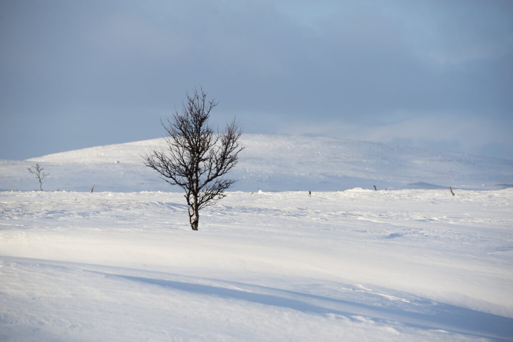
Kaldoaivi is Finland’s largest wilderness area, a vast roadless region of steep river valleys and open upland fells. At 200–300 metres in altitude, vegetation ranges from sparse birch to treeless tundra. The area suits experienced hikers and mountain bikers, and is a dream for fishers with its many rivers and lakes. With no light pollution, Kaldoaivi offers unforgettable Northern Lights viewing and becomes stunning during the autumn foliage.
Read more about Kaldoaivi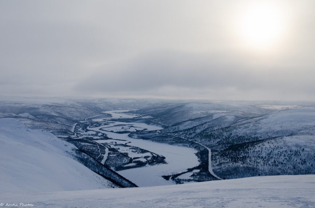
River Teno
The River Tenojoki is one of Europe’s largest and most famous salmon rivers. Fly-fishing enthusiasts first discovered it in the 19th century, marking the start of fishing tourism. Teno — Deatnu in Northern Sámi, Tana in Norwegian — forms the border between Finland and Norway and the northern edge of the EU. Its beautiful valley, with hidden sandy beaches and rugged fells rising above, creates unforgettable Arctic scenery.
More about Teno
The Sevettijärvi-Pulmanki Trail
The Sevettijärvi-Pulmanki hiking trail leads from Lake Pulmankijärvi through the vast wilderness of Kaldoaivi. The route is approximately 60-70 km long. In its southernmost parts the route traverses’ boreal forests, while the terrain becomes more rugged towards the North, birch being the predominant vegetation. There are some wilderness huts along the route and the most recommended time for hiking is during July – August. There is also a separate winter route both for skiers and snowmobilers.
Explore the trail